Profile picture of Mohamed Shamroukh

About me

I am a doctoral researcher at Loughborough University working at the intersection of GeoAI, urban analytics, and spatial data science. My research develops data-driven approaches to understand pedestrian activity and support more walkable, inclusive, and sustainable cities. I combine geospatial data, machine learning, computer vision, and sensor-derived datasets to generate actionable evidence for urban planning and decision-making.

PhD project

Towards pedestrian-friendly cities

Developing data-driven methods to understand pedestrian activity and support pedestrian-oriented urban planning.

Learn more at Perceptive City Lab

Selected projects

Open-source tools and research projects connecting geospatial analysis, machine learning and urban applications.

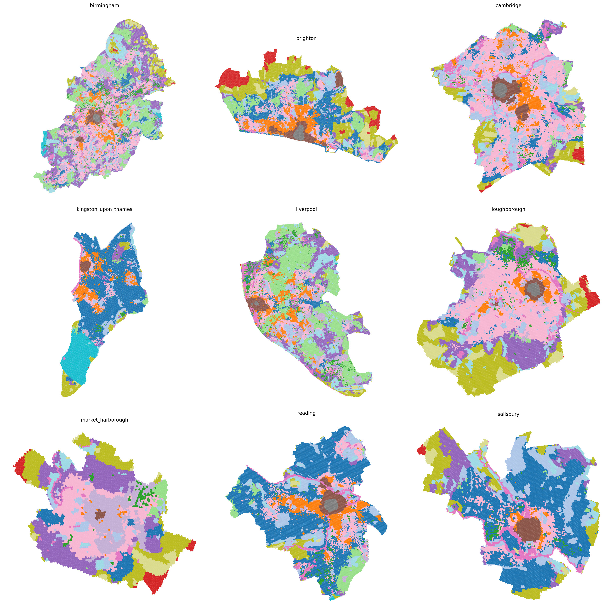
Urban Similarity Embeddings

Current project developing a geospatial foundation model that learns 64-dimensional similarity embeddings representing the unique character of urban places. These embeddings capture complex urban characteristics in a high-dimensional space and can support a wide range of downstream urban analysis and modelling tasks.
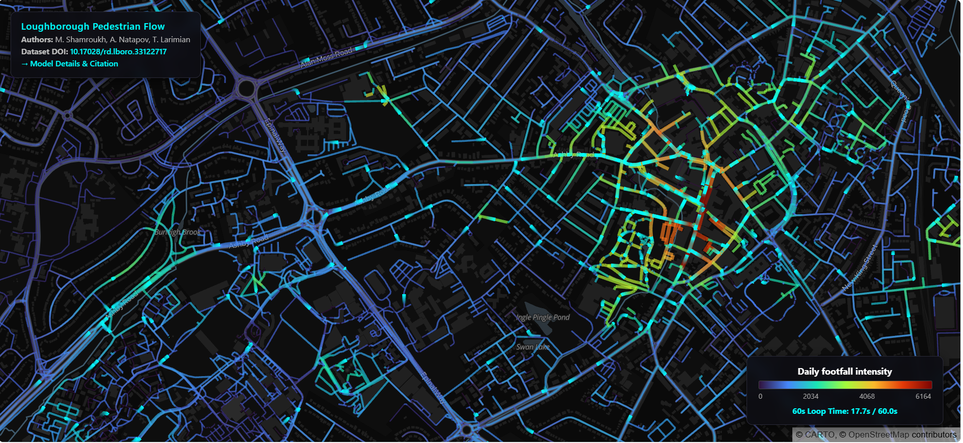

Loughborough pedestrian flow

Developed a city-wide GeoAI engine that combines WiFi sensing, urban form indicators, and machine learning to predict pedestrian activity and support evidence-based urban planning.

QGIS Pip Manager

A graphical interface for managing Python packages directly within QGIS without using the command line.

AI-Powered Solar Opportunity Mapping

Developed an AI and GIS framework to identify solar energy opportunities across 13,524 properties, highlighting low current adoption and substantial potential for community renewable energy deployment.

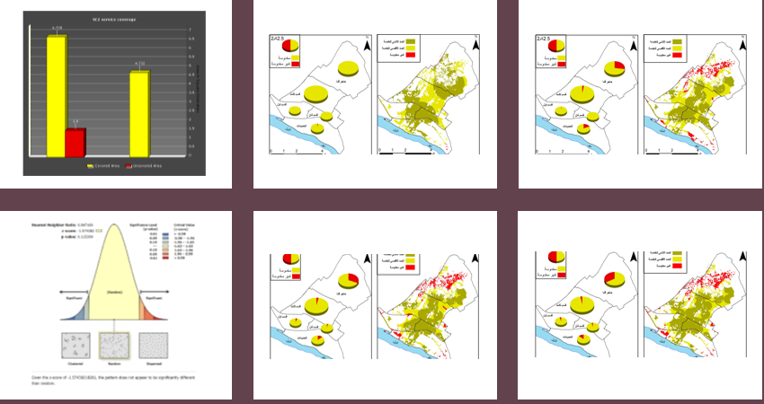
Smart spatial analysis

Created geospatial analytical tools and workflows for evaluating accessibility, planning standards, spatial equity, and urban service provision.

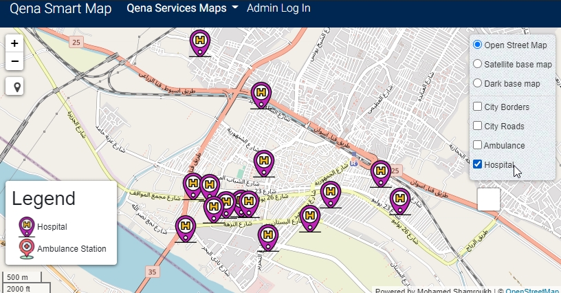
Qena smart services

Designed and implemented a Web-GIS platform for analysing public service accessibility and supporting evidence-based planning decisions.

Research & skills

Research interests and technical capabilities across geospatial intelligence, urban analytics and data-driven planning.

Research focus

Core themes connecting GeoAI, human mobility and evidence-based urban planning.

GeoAI and spatial modelling

Developing predictive geospatial models that connect urban form, activity patterns and spatial relationships.

Pedestrian mobility and urban analytics

Understanding where, when and how people move through urban environments using sensor, spatial and contextual data.

Digital trace data

Investigating the reliability, calibration and spatial representativeness of WiFi and other digital mobility data.

Pedestrian-friendly planning

Using evidence from movement and urban form to support more accessible and pedestrian-oriented places.

Remote sensing and computer vision

Applying satellite imagery and object detection to urban and environmental monitoring.

Open-source geospatial tools

Building practical Python and QGIS tools that make geospatial analysis more accessible and reproducible.

Current research

Current research directions and methodological development.

Current projects

  • Geospatial Foundation Models for Urban Analytics
  • City-Wide Pedestrian Flow Prediction Engine
  • Urban Vitality Assessment Framework
  • Digital Trace Data Reliability and Calibration
  • Explainable GeoAI for Urban Planning

Technical expertise

Tools and methods used across research, teaching and applied geospatial projects.

GeoAI & machine learning

Machine LearningDeep LearningComputer VisionNeural NetworksCNNsYOLOObject Detection

GIS & geospatial

QGISArcGIS ProPostGISGoogle Earth EngineRemote SensingSpatial AnalysisRasterioGDAL

Python & data science

PythonPyTorchTensorFlowKerasPandasNumPyGeoPandasScikit-learnOpenCV

Visualisation & mapping

MatplotlibSeabornPlotlyFoliumLeaflet

Databases & storage

PostgreSQLSQLCloud Storage

Development & tools

Git & GitHubJupyterVS CodePyCharmLinux

Academic contribution

Teaching & mentoring

  • GIS
  • Remote Sensing
  • Urban Planning
  • Python for Spatial Analysis

Research impact

  • Open-source QGIS plugin published through the official QGIS Plugin Repository.
  • Research presented at international conferences including AESOP, CUPUM, RGS-IBG, and GeoAI.
  • Development of open-source GeoAI and geospatial tools supporting urban analytics and planning research.
  • Contributions to evidence-based pedestrian-oriented urban planning and urban vitality research.

Publications & presentations

Journal publications are retrieved from ORCID. Selected conferences, presentations and invited engagements are listed below.

Loading journal publications...

Conferences & presentations

Selected conference presentations from my academic work.

2026

Loughborough Doctoral College Showcase

Mapping Where People Walk: A City-Wide GeoAI Engine for Pedestrian Flow Prediction.

Loughborough University
2026

GeoAI 2026

GeoAI for city-wide pedestrian flow mapping and urban regeneration.

Ghent, Belgium
2025

CUPUM 2025

Spatio-temporal analysis of pedestrian activity in Loughborough using Wi-Fi data.

London, UK
2025

AESOP 2025

Data-driven prioritising of pedestrian-oriented infrastructure: A framework for resource allocation.

Istanbul, Türkiye
2025

EMDOC 2025 PGR Conference

Mapping Loughborough's Pedestrian Activity Using WiFi Data.

Loughborough University
2025

RGS-IBG 2025

From Data to Decisions: Understanding Pedestrian Flow with WiFi Scanner Data.

Birmingham, UK
2025

Loughborough Doctoral College Showcase

Mapping Loughborough's Pedestrian Activity Using WiFi Data.

Loughborough University

Invited talks & workshops

Selected research, knowledge exchange and public engagement activities.

2026

DEBIAS Workshop and Symposium

Research engagement focused on digital trace data and data quality.

Liverpool, UK
2025

Loughborough Heritage Open Weekend

Public engagement with local residents through the TOWN Observatory.

Loughborough, UK
2025

GCRO & The Impact Hub knowledge exchange

Knowledge exchange workshop with the Gauteng City-Region Observatory and The Impact Hub.

Loughborough University
2021

International university invited talks

Invited academic talks at Ibn Tofail University, Umm Al-Qura University and University of Diyala.

Morocco, Saudi Arabia and Iraq